Print Maps
Print Maps are static representations of geographic information. They are an effective and traditional tool for visually communicating geographic topics, including zip code locations, roads, school districts, and congressional boundaries.
 Base Map(PDF, 2MB)
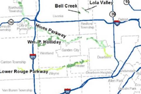 Parks(PDF, 519KB)
 School Districts(PDF, 329KB)
 State House Districts(PDF, 12MB)
 State Senate Districts(PDF, 11MB)
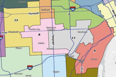
 U.S. House Districts(PDF, 11MB)
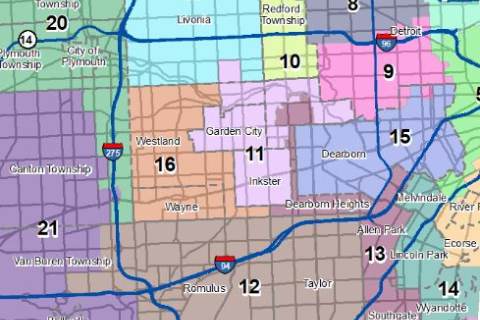
 Commission Districts(PDF, 11MB)
 Zip Codes(PDF, 340KB)