Interactive Maps
To learn more about projects the Department of Public Services has currently underway, including road construction and bridge conditions, please visit the Wayne County Department of Public Services LIVE Projects Page.
Interactive Maps dynamically display GIS data and allow users to interact with the content in ways that are not possible with traditional printed maps. This includes zooming and panning the map, selecting features to gain additional information, and, in some cases, conducting analysis on geospatial information.
 Road Project Construction
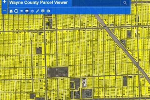 Parcel Viewer
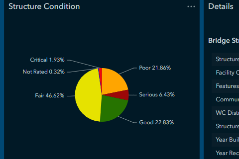 Bridge Condition Dashboard
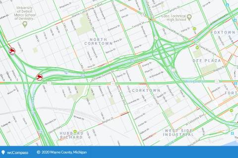 wcCompass
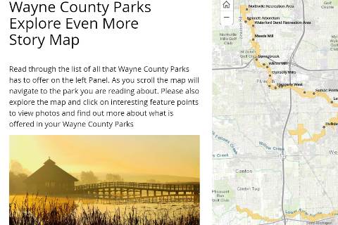 Parks Map