GIS Data
GIS Data are the information used by interactive and print maps to communicate a message. They can consist of parcel information, road features, park boundaries, and much more. The data available here are in the Shapefile format and download as a zip file.
 Disclaimer
By downloading data, you acknowledge that Wayne County does not guarantee the data to be accurate, current, or otherwise reliable and cannot be held responsible for its misinterpretation or misuse.
 Parcel Data
GIS parcel data of individual municipalities can be found on the Assessment & Equalization page.
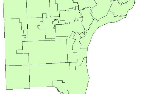
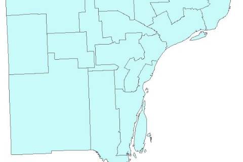 Commission Districts(ZIP, 98KB)
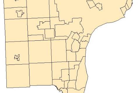 Municipal Boundaries(ZIP, 123KB)
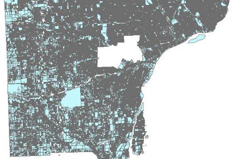 Parcels(ZIP, 75MB)
The information in this shapefile is as of 2015, and provided for reference only and without warranty of any kind, expressed or inferred.
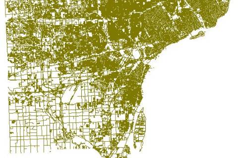 Roads(ZIP, 14MB)
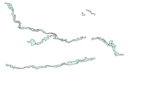 Wayne County Owned Parks(ZIP, 67KB)
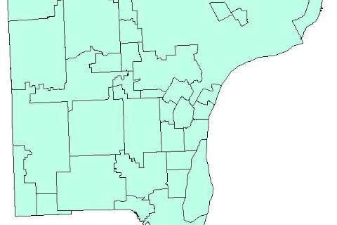
 State House Districts(ZIP, 137KB)
 State Senate Districts(ZIP, 125KB)
 U.S. Congressional Districts(ZIP, 83KB)
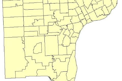
 School Districts(ZIP, 115KB)
 Zip Codes(ZIP, 228KB)